Restaurante Tanga
Opening hours not confirmed
+34 971 187 905 · Website · View on Google Maps
Checked 18/10/2026
 Arena
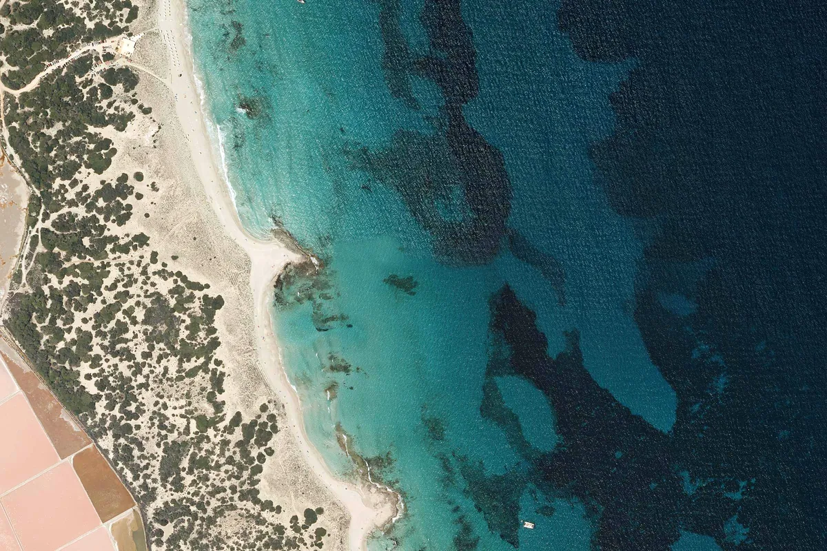
PNOA orthophoto · IGN (CC BY 4.0, adapted) · Licence CC BY 4.0 · View the original source
Platja de Llevant is a beach in Formentera. Sheltered from SE, S, SW, W and NW winds; exposed to NE and E winds.
The middle stretch of Llevant beach, the eastern side of the Es Trucadors sand spit inside the Ses Salines Natural Park: almost 1.5 km of fine white sand, very clear turquoise water and a sandy seabed with posidonia, with hardly a building in sight. It is usually far quieter than Ses Illetes, just a short walk away on the other side of the spit. It faces east, so an easterly wind brings some swell; a couple of beach bars serve food right on the sand.
Arena suggests 19 spots to anchor on sand, clear of Posidonia; the closest to the meadow is 71 m away.
Approximate depth: 1.2–5.8 m (EMODnet bathymetry).
Anchoring on Posidonia is forbidden: the app shows the meadow on the map and warns you if the anchor would land on it.
Opening hours not confirmed
+34 971 187 905 · Website · View on Google Maps
Checked 18/10/2026
Opening hours not confirmed
Checked 18/10/2026
See in Arena how it will be today: shelter hour by hour, expected crowding and the sea route from where you are.
Open Platja de Llevant in ArenaPlatja de Llevant · View on Google Maps
Arena is a decision aid and does not replace official nautical information: not for coastal navigation.