 Arena
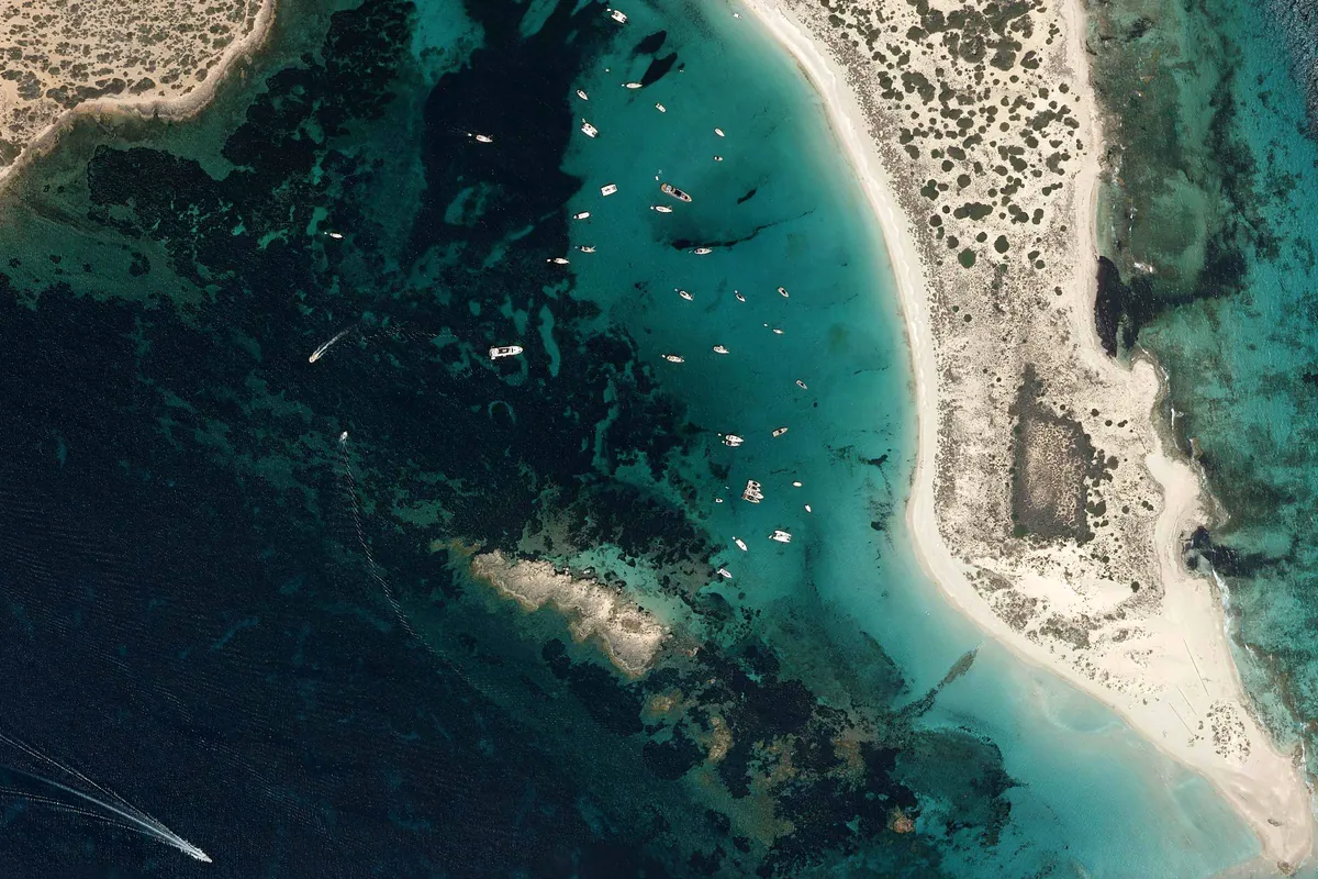
S'Alga (s'Espalmador)
PNOA orthophoto · IGN (CC BY 4.0, adapted) · Licence CC BY 4.0 · View the original source
S'Alga (s'Espalmador) is a cove in Formentera. Sheltered from N, NE, SE, S and NW winds; exposed to SW winds.
- Where
- Formentera
- Sheltered from
- N, NE, SE, S and NW
- Anchoring
- 19 spots on sand
- Buoy field
- Not confirmed
A sandy beach of almost 1 km on the west side of S'Espalmador, a private, uninhabited islet in Ses Salines Natural Park, north of Formentera. The bay of S'Alga, sheltered by the islets of S'Alga and Casteví, is S'Espalmador's anchorage and a regular destination for pleasure boats and excursions from La Savina. White sand, turquoise water and nothing built on the beach: bring everything on board.
Shelter by direction
Anchoring
Arena suggests 19 spots to anchor on sand, clear of Posidonia; the closest to the meadow is 76 m away.
Approximate depth: 2.2–5.6 m (EMODnet bathymetry).
Buoy field with no confirmed status (checked on 19/10/2026): do not count on a buoy
PortsIB had it uninstalled in June and planned to open it gradually; nothing confirms it since. Check the booking site before you go.
Anchoring on Posidonia is forbidden: the app shows the meadow on the map and warns you if the anchor would land on it.
See in Arena how it will be today: shelter hour by hour, expected crowding and the sea route from where you are.
Open S'Alga (s'Espalmador) in ArenaS'Alga (s'Espalmador) · View on Google Maps
Arena is a decision aid and does not replace official nautical information: not for coastal navigation.