Es Ministre
Tender to bring you ashore and food delivered on board: Nico, VHF channel 75.
Closed for the season
+34 609 600 538 · Website · View on Google Maps
Checked 19/10/2026
 Arena
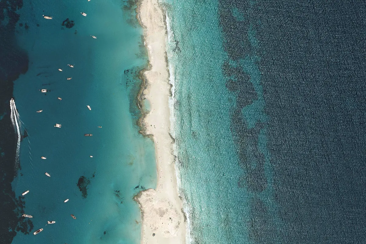
PNOA orthophoto · IGN (CC BY 4.0, adapted) · Licence CC BY 4.0 · View the original source
Platja de n'Adolf is a beach in Formentera. Sheltered from N, NE, E, SE and S winds; exposed to W winds.
Platja de n'Adolf, the northern stretch of Ses Illetes, on the west shore of the narrow Es Trucadors peninsula, inside Ses Salines Natural Park. White sand, shallow turquoise water over posidonia and, just offshore, the islets that give the area its name. The restaurants are further south, so the atmosphere here is quieter.
Arena suggests 17 spots to anchor on sand, clear of Posidonia; the closest to the meadow is 130 m away.
Approximate depth: 2.3–7.4 m (EMODnet bathymetry).
Anchoring on Posidonia is forbidden: the app shows the meadow on the map and warns you if the anchor would land on it.
Tender to bring you ashore and food delivered on board: Nico, VHF channel 75.
Closed for the season
+34 609 600 538 · Website · View on Google Maps
Checked 19/10/2026
See in Arena how it will be today: shelter hour by hour, expected crowding and the sea route from where you are.
Open Platja de n'Adolf in ArenaPlatja de n'Adolf · View on Google Maps
Arena is a decision aid and does not replace official nautical information: not for coastal navigation.